Conservation, Fieldwork & Drone Technology
Early-career conservation and horticulture worker combining fieldwork, bush regeneration, and drone-based environmental monitoring.
Experience With


Horticulturist
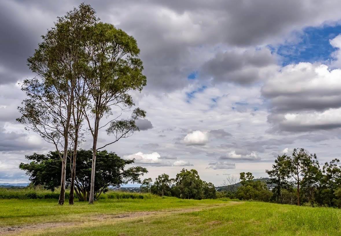
I'm an emerging environmental professional based in Brisbane, Queensland, combining hands-on conservation fieldwork with drone technology and GIS. I support land managers and environmental projects with practical field skills and data collection tools.
With 3+ years of fieldwork experience and a licensed drone operation background, I bring both traditional conservation practices and modern monitoring technology to projects.
Core Competencies
Current Focus
- • Bush regeneration and restoration ecology
- • Field surveys and site assessment
- • Native plant propagation and establishment
- • Drone-based environmental monitoring
Capabilities
Skills & Expertise
GIS & Spatial Analysis
Assisting with vegetation mapping and environmental monitoring.
Drone Surveys
Drone flights for vegetation monitoring, aerial imagery, and site observation.
Remote Sensing
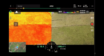
Interpreting multispectral imagery to analyse vegetation health.
Environmental Analysis
Field data collection, soil studies, and condition assessments.
Conservation Management
Bush regeneration, habitat improvement, and environmental fieldwork.
Data & Reporting
Field data collection and visualisation for stakeholders.
Applications
Example Outputs
Vegetation Monitoring
Mavic 3 Multispectral
Multispectral imaging captures NDVI and NDRE indices to assess vegetation health across large areas. Identifies stress, monitors growth, and supports conservation planning.
.gif)
Site Mapping & Documentation
Phantom 4 Pro
High-resolution orthomosaics and 3D models provide detailed site documentation. Essential for baseline assessments, progress tracking, and environmental reporting.
.gif)
Fieldwork Integration
Ground + Aerial Combined
Combines traditional fieldwork with drone data for comprehensive environmental monitoring. Quadrat surveys, soil testing, and aerial imagery create complete site assessments.
Why Work With Me
What I Bring to the Table
As an emerging environmental professional, I offer modern tools, practical field skills, and flexible availability — well suited to pilot studies, baseline surveys, and supplementary field support.
Efficient Site Coverage
Drone surveys can help collect vegetation and site data more efficiently across larger areas.
Drone Mapping & Site Imagery
Aerial imagery and site documentation processed quickly to support field observations and environmental projects.
NDVI & Orthomosaic Outputs
Multispectral vegetation indices and high-resolution orthomosaics for vegetation health assessment and site analysis.
Safety & Compliance
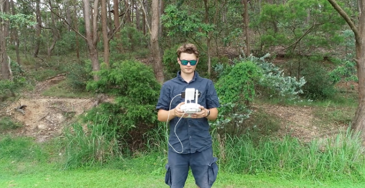
Fully licensed remote pilot with AROC certification. All operations conducted under CASA regulations with risk assessments for every mission.
Vegetation Health Observation
Multispectral imagery can identify vegetation stress and land condition changes earlier than visual inspection alone.
Fieldwork + Drone Technology
Horticulture knowledge, conservation fieldwork, and drone technology combining practical fieldwork with drone imagery and environmental data collection.
Professional Qualifications
Qualifications in horticulture, conservation, and drone operations.
Certificate III in Horticulture
Advanced horticultural practices, plant identification, and landscape management
Certificate II in Horticulture
Foundation skills in plant care, propagation, and horticultural operations
Certificate III in Conservation and Ecosystem Management
Ecosystem conservation, environmental monitoring, and sustainable land management practices
Remote Pilot License (RePL)
Licensed to operate remotely piloted aircraft systems (drones)
Certificate III in Aviation
Comprehensive training in remote aircraft operations and regulations
AROC Certification
Advanced Remote Operations Certificate for complex drone operations
Environmental Science Study
Interested in pursuing further study in ecology, environmental monitoring, restoration ecology and environmental policy
Background
Work Experience
Nursery Team Member
Bunnings
Brisbane, QLD
- Customer advice on native and tropical plant selection and care
- Plant health maintenance via propagation, irrigation, and pest management
Improved plant health outcomes through correct irrigation and customer education.
Volunteer Nursery Assistant
TAFE Queensland
Brisbane, QLD
- Propagation using cuttings, division, and seed techniques
- Plant maintenance, soil health, and pest control in educational setting
Contributed to propagation success across native species.
Conservation Volunteer
Queensland Conservation Projects
South-East QLD
- Soil moisture analysis for eucalypt trees at White Hill Reserve
- Native plant restoration and data collection for research
Collected field data for vegetation assessments and land management.
Licensed Drone Pilot
Independent
QLD
- Aerial surveys for conservation, land assessment, and documentation
- Multispectral data capture for NDVI vegetation health analysis
Captured aerial imagery and vegetation data for independent environmental monitoring projects.
Featured Projects
A selection of conservation, environmental monitoring, and field-based projects.
White Hill Reserve
Soil Moisture Analysis for Eucalypts
Field-based research project measuring soil moisture levels and their influence on eucalypt health. Included data collection, analysis, and conservation recommendations.
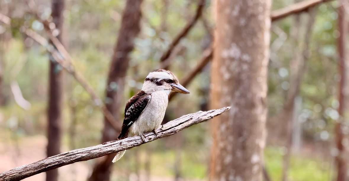
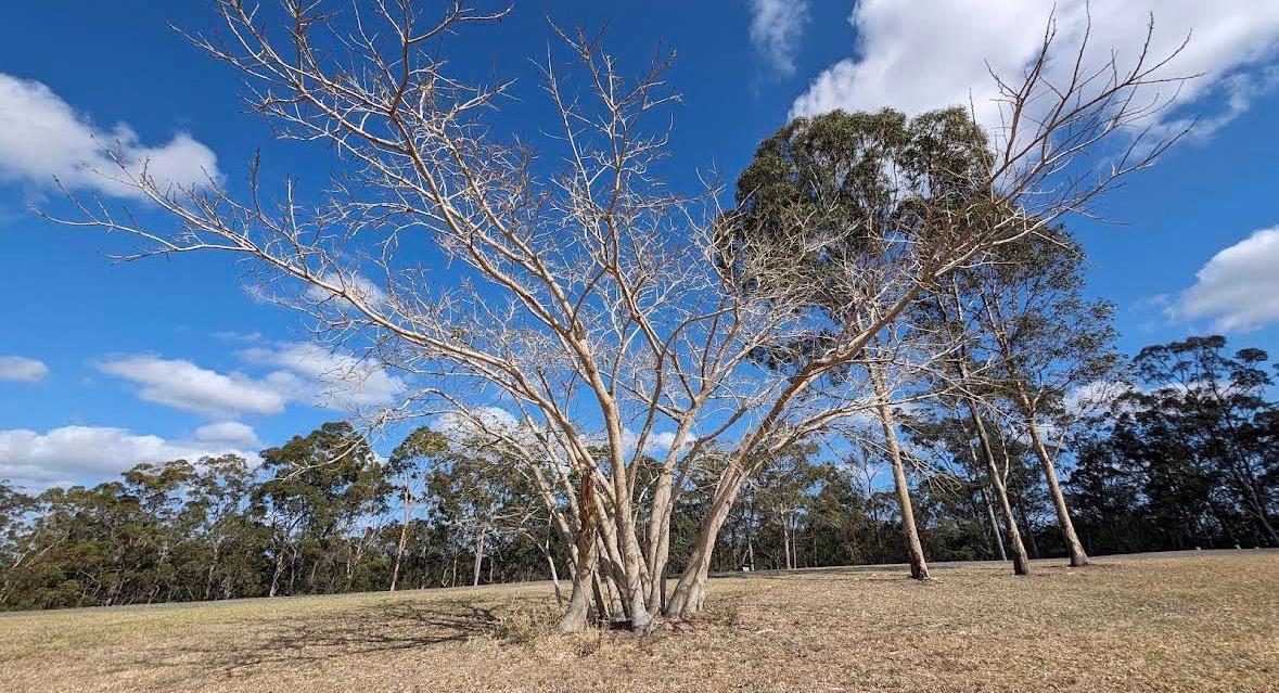
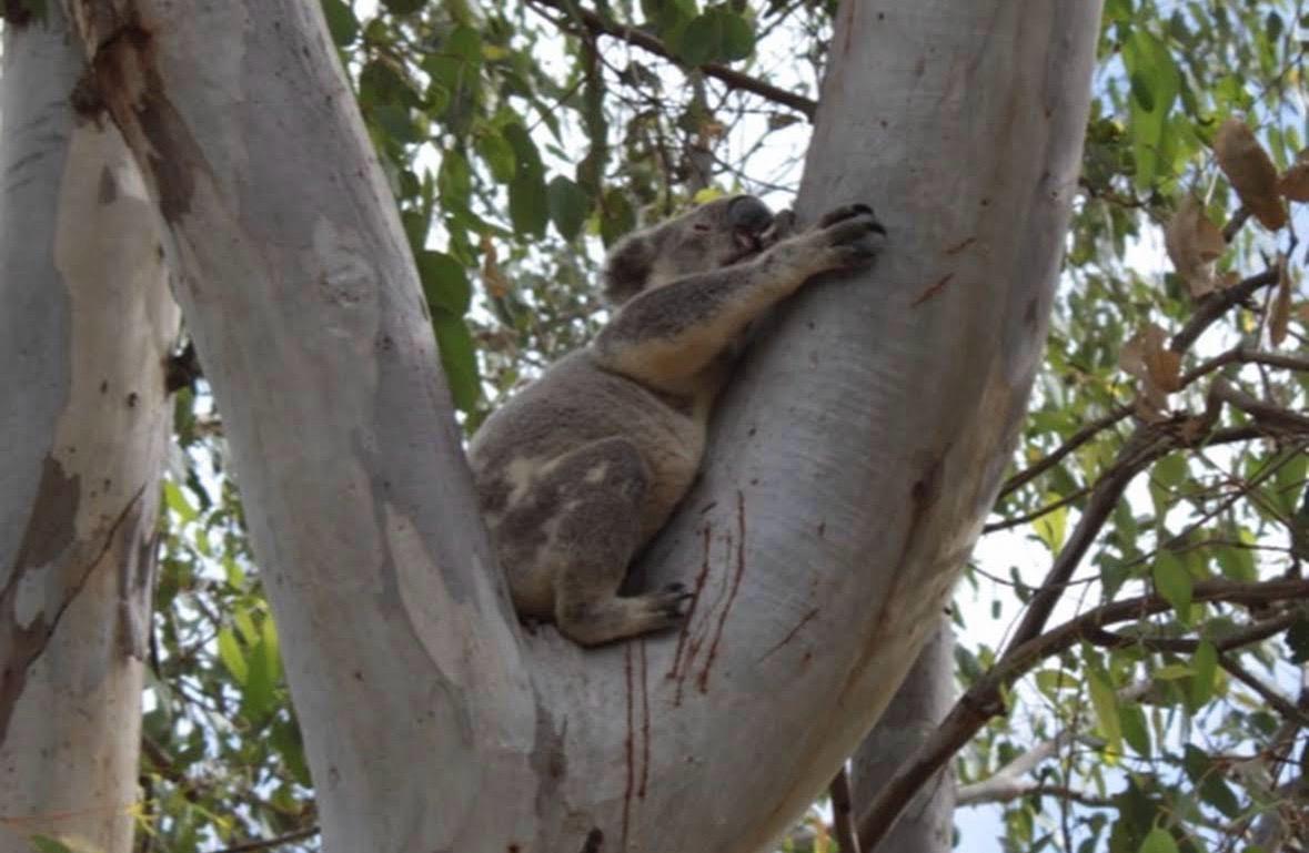
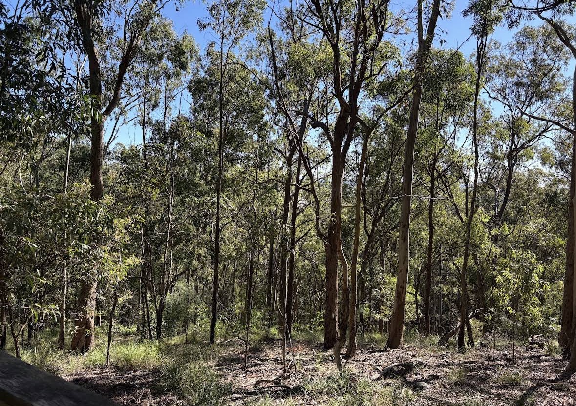
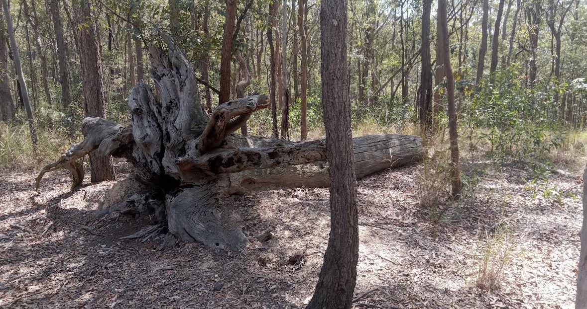
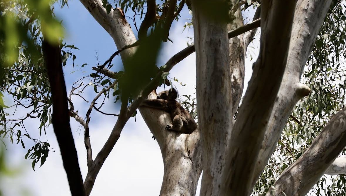
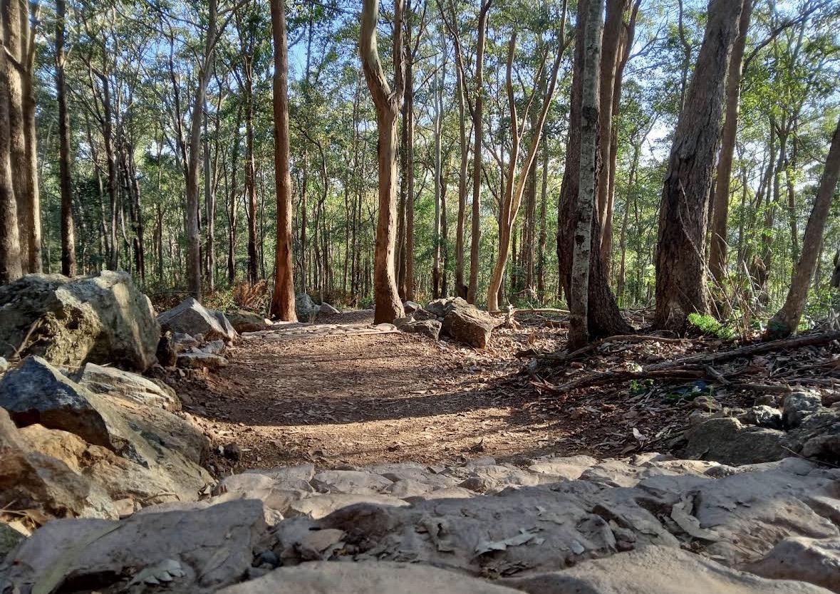
Field Experience Gallery
Conservation fieldwork including quadrat surveys, coir log installation, weed management, native planting, soil moisture monitoring, and habitat creation.

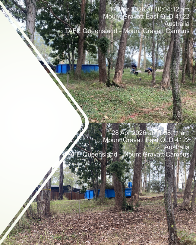
TAFE Bush Regeneration
Drone-assisted bush regeneration monitoring using RGB and multispectral imagery to identify vegetation stress, weed pressure, and erosion zones.
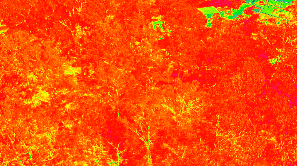
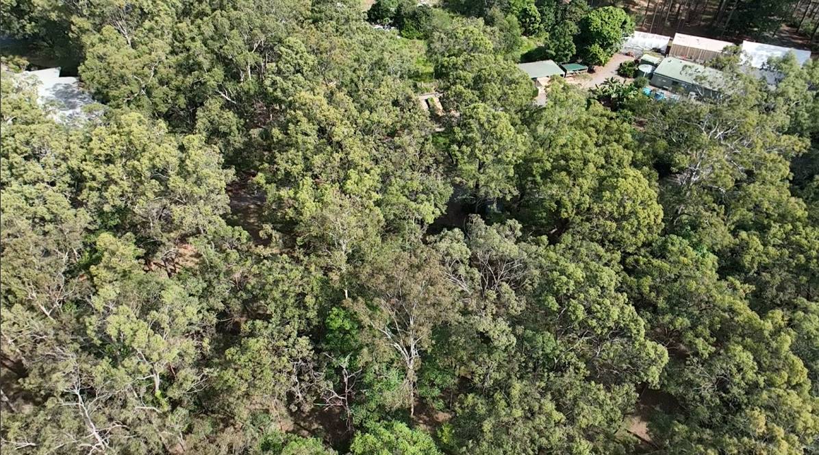
Site Flyover
RGB vs NDVI Comparison
NDVI reveals vegetation stress and degraded areas not visible in standard RGB imagery. Drag slider to compare.
Survey Summary
Site Coverage
1.6 km surveyed
Analysis Type
RGB + NDVI
Validation Method
Ground + aerial verification
Field Evidence
Key Findings
Early vegetation stress detected using NDVI analysis
Drone imagery improved full-site assessment coverage
Ground surveys confirmed aerial data patterns
1.6 km surveyed. Yellow stress zones in NDVI imagery were validated on-site with cat claw creeper, corky passionfruit, and slope/runoff erosion.
Areas of Interest
Opportunities I’m Interested In
Looking Ahead
Planned Projects
Planned projects focused on conservation monitoring and environmental fieldwork.
Contact
Let's work together
Interested in opportunities involving conservation fieldwork, vegetation monitoring, bush regeneration, and drone-based environmental mapping.
elijahhgummer5@gmail.com
Location
Brisbane, Queensland